Central Sulawesi Makes Atlas of Liquefaction Susceptibility Zones as Spatial Guidelines
MINISTRY OF ENERGY AND MINERAL RESOURCES
REPUBLIC OF INDONESIA
PRESS RELEASE
NUMBER: 602.Pers/04/SJI/2019
Dated: 10th October 2019
Central Sulawesi Makes Atlas of Liquefaction Susceptibility Zones as Spatial Guidelines
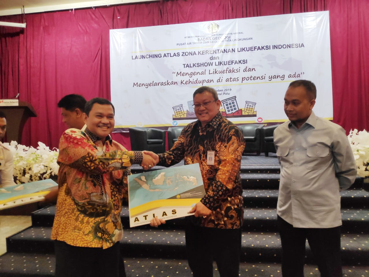
The Provincial Government of Central Sulawesi welcomed the launch of the "Atlas of Indonesia's Liquefaction Susceptibility Zones" by the Geological Agency, Ministry of Energy and Mineral Resources in Palu, Central Sulawesi (9/10). The atlas would be made both a guideline in spatial planning and a reference in answering questions from the general public about whether or not their residential area was safe to live in. Such was the statement made by Central Sulawesi Regional Secretary (Sekda), Muhammad Hidayat.
"I would like to convey our gratitude and appreciation to the Expert Team from the Geological Agency who had prepared this Map of Liquefaction Susceptibility Zones. I hope this map will be made a reference about high, moderate, low, etc. liquefaction hazard zones by the Regional Government. The Regional Government will undoubtedly make this map a reference in making spatial plan," said Hidayat.
Hidayat further added that although this map was not specifically addressed to Central Sulawesi Province, he believed it could be made a reference in making spatial plan and answering the questions from the public about whether or not their area of residence was safe to live in.
"In the future, we still need a more detailed map to complement spatial plan documents (for example), a 1:5,000 map showing which areas are high hazard zones," Hidayat concluded.
A year after Palu earthquake and liquefaction, the Geological Agency launched the "Atlas of Indonesia's Liquefaction Susceptibility Zones ". The maps sets three categories for liquefaction susceptibility zones. Red zones refer to areas with high liquefaction hazard, yellow (moderate), and green zones are areas with low hazard.
The red or high liquefaction hazard zones show that these areas may experience total liquefaction, i.e. its soil structure in general will be damaged or completely destroyed. Damage to the soil structure may be in the forms of flow liquefaction, literal shift, land subsidence, and sand bursts.
Although the red zones have the potential to suffer from four liquefaction types, but according to the Head of Geological Agency, Rudy Suhendar, people can still live at these areas on a number of conditions. "A red zone does not mean the area must not be developed, is uinhabitable, but instead (people living at) the red zone must be aware of the high liquefaction potential based on the four liquefaction types; these four liquefaction are likely to occur at a red zone," Rudy explained. (SF)
Head of Bureau of Communication, Public Information Services, and Cooperation
Agung Pribadi (08112213555)
Share This!
Recent News
-

ICP Mei Turun ke USD106,56/Barel Seiring Redanya Ketegangan Geopolitik...
Saturday, 6 June 2026
-

Kementerian ESDM Bongkar Dugaan Tambang Ilegal di Gunung Botak, Maluku
Saturday, 6 June 2026
-

Kementerian ESDM Lantik 745 PNS Baru, Talenta Muda untuk Hadapi Tantan...
Tuesday, 2 June 2026
-

Kementerian ESDM Gelar Apel Hari Lahir Pancasila
Monday, 1 June 2026
-

Teruskan Tradisi Baik, Wamen ESDM Serahkan Daging Kurban
Friday, 29 May 2026
-

PLTS 100 GW, Wamen ESDM: Kita Lakukan Percepatan
Friday, 29 May 2026
ICP Mei Turun ke USD106,56/Barel Seiring Redanya Ketegangan Geopolitik...
Saturday, 6 June 2026
Kementerian ESDM Bongkar Dugaan Tambang Ilegal di Gunung Botak, Maluku
Saturday, 6 June 2026
Kementerian ESDM Lantik 745 PNS Baru, Talenta Muda untuk Hadapi Tantan...
Tuesday, 2 June 2026
Kementerian ESDM Gelar Apel Hari Lahir Pancasila
Monday, 1 June 2026
Teruskan Tradisi Baik, Wamen ESDM Serahkan Daging Kurban
Friday, 29 May 2026